Five Days to California: When a Road Trip Was an Education in How Big America Actually Is

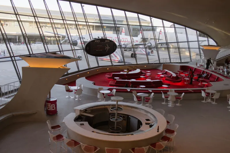
Photo: Joe Haupt from USA, CC BY-SA 2.0, via Wikimedia Commons
Pull up Google Maps and ask it how long it takes to drive from Chicago to Los Angeles. It will tell you 28 hours and 41 minutes, which it will further reduce, in your mind, to a weekend with some ambition. Book a flight instead and the whole thing collapses to four hours and a bag of pretzels. Either way, you've solved the problem of distance.
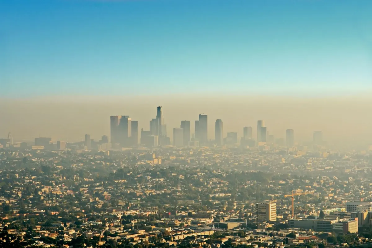 Photo: Los Angeles, via cdn.britannica.com
For most of American history, distance wasn't a problem to be solved. It was a fact to be lived with.
The Country Before the Interstate
The Federal Aid Highway Act of 1956 — the legislation that built the Interstate Highway System — is often celebrated as one of the great engineering achievements of the twentieth century. And it was. But it also did something quieter and harder to measure: it changed the way Americans experienced the physical scale of their own country.
Before the interstates stitched everything together, a family driving from, say, Cleveland to San Diego was undertaking something that required genuine preparation. You didn't just check flight prices. You planned a route through a succession of two-lane roads with names like US-40 and US-66, roads that ran through the centers of actual towns rather than bypassing them at 75 miles per hour. You estimated five days if things went smoothly. You packed for contingencies.
And those towns — the ones the highway ran through rather than around — were where the trip actually happened. You stopped in Amarillo because that's where you were when the sun went down. You ate at whatever diner was closest to the motor court, and the woman behind the counter knew which road conditions to warn you about tomorrow. You slept in a cabin that smelled like pine cleaner and highway dust, and in the morning you got back in the car and did it again.
What the Motor Court Understood
The roadside motor court — the precursor to the motel — was a distinctly American invention, built specifically for the unhurried traveler. These weren't places designed for transit. They were places designed for stopping. Individual cabins arranged in a horseshoe around a central office. A few lawn chairs out front. Sometimes a small pool. Families would pull in by late afternoon, let the kids run around for an hour, and sit outside after dinner watching the cars go by on the highway.
There was a social texture to this kind of travel that the modern airport hotel doesn't replicate. You were likely to meet another family doing roughly the same thing — heading west for a vacation, visiting relatives in a state they'd never been to, starting over somewhere new. The road was a shared experience in a way that the departure lounge isn't. Everyone on it was inside the same country, moving through it at the same speed, watching the same landscape change.
And the landscape did change — visibly, gradually, in ways you could actually register. Leaving Ohio, the land flattened slowly into Indiana. Kansas announced itself as something genuinely different from Illinois. The first sight of the Rockies from the eastern plains was a revelation that had to be earned over days of driving through the high desert. You couldn't sleep through it in a pressurized cabin and wake up somewhere else.
Measuring Distance in Days, Not Miles
Here's the thing about pre-interstate travel that gets lost in nostalgia: it wasn't experienced as slow. It was experienced as appropriately scaled. When people said "California is five days away," they weren't complaining. They were describing the country accurately. The size of America wasn't an inconvenience — it was just a fact, like the weather or the price of gas.
That relationship with geographic scale shaped how Americans thought about their country. People had a physical sense of what separated Boston from Denver that you simply cannot acquire from a flight path. They knew, in their bodies, that the Great Plains were vast in a way that humbled you. They understood, from experience, that the American Southwest was a different world from the American Northeast — not just culturally but atmospherically, geologically, fundamentally.
Kids who grew up taking those trips carried a kind of geographic literacy that's harder to come by now. They knew where the time zones changed. They knew what the soil looked like in Missouri versus New Mexico. They had opinions about which stretch of highway was the most boring and which diner in which small town made the best pie. That knowledge was earned slowly, the only way durable knowledge tends to be.
The Rush We Chose
Somewhere in the 1960s and '70s, American culture began to treat travel time itself as the enemy. The interstate system made speed possible. Cheap airfare made it mandatory. Getting there faster became the point, and the journey — the actual physical experience of crossing the country — became the part you endured rather than the part you remembered.
Today, a family road trip is often measured in how efficiently it can be completed. Navigation apps reroute around traffic in real time. Rest stops are optimized for minimal delay. The goal is arrival, not passage. And that's understandable — time is genuinely scarce, and nobody is obligated to find meaning in a stretch of I-70 through Kansas.
But something was lost when we stopped moving at the speed of the country. The old road trip didn't just get you somewhere. It showed you what was in between. And what was in between, it turns out, was most of the country — the part that doesn't have an airport, that doesn't show up in the highlights, that you can only really see from a two-lane road at fifty miles an hour with the windows down.
That America is still out there. It just doesn't show up on the fastest route.
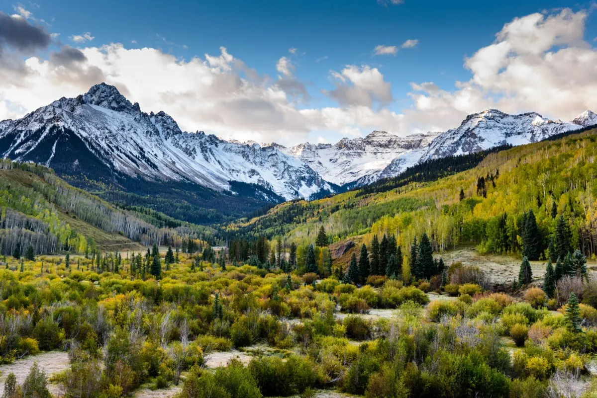 Photo: Rocky Mountains, via www.usatipps.de